Queensland & New South Wales Hinterland
To the west and inland of the Gold Coast stretching across the border between the two states of Queensland and New South Wales stretch a number of national parks. They collectively warrant World Heritage status. The northern hinterland area is noted for it's high rainfall. The southern area has vast dry tablelands of sheep and cattle grazing country. Unlike much of Australia, this area known as New England has four distinct seasons and a strangely Scottish flavour.

Hinze Dam - which provides the water supply for the Gold Coast resorts.

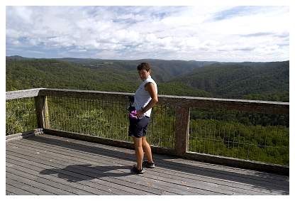
Wunburra Lookout
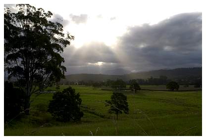
This area has a very high rainfall!
(this was the first day in 7 weeks that rain impacted on us in any way)

Purling Brook falls

Natural Bridge
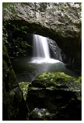

The feed for Natural Bridge

The top of Natural Bridge

...it's still raining (but its 26oC)

Raspberry Lookout
(now in NSW and a relatively dry day)
Gene Bear at Raspberry)
Laurie photographs Ebor Falls (Guy Fawkes River)

Ebor Lower Falls


Upper Ebor Falls

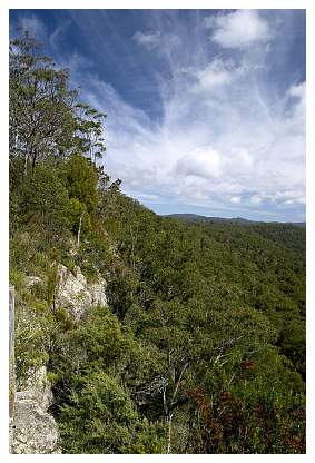
the road to Cathederal Rock

Catherderal Rock National Park

Wollomombi Falls
(these are the highest falls in Australia....unfortunately despite a
200 mile round trip to see them..they were dry!!!)

Dorrigo NP

Skywalk lookout at Dorrigo

The Skywalk

on the Birdwalk at Dorrigo

Bellingen